Animated and Interactive Maps in R

tmap sf gganimate mapview leaflet plotly ggiraph crosstalk shiny

Tutorial for creating animated maps using packages like {tmap} and {gganimate} and interactive maps using packages like {ggiraph}, {mapview}, {leaflet} and {plotly}

In support of the Social Cops Introduction to GIS in R free online course, I wrote this lesson on creating animated and interactive maps in R. Find it at the link below:

https://socialcops.com/courses/introduction-to-gis-r/lesson4-animated-interactive-maps/

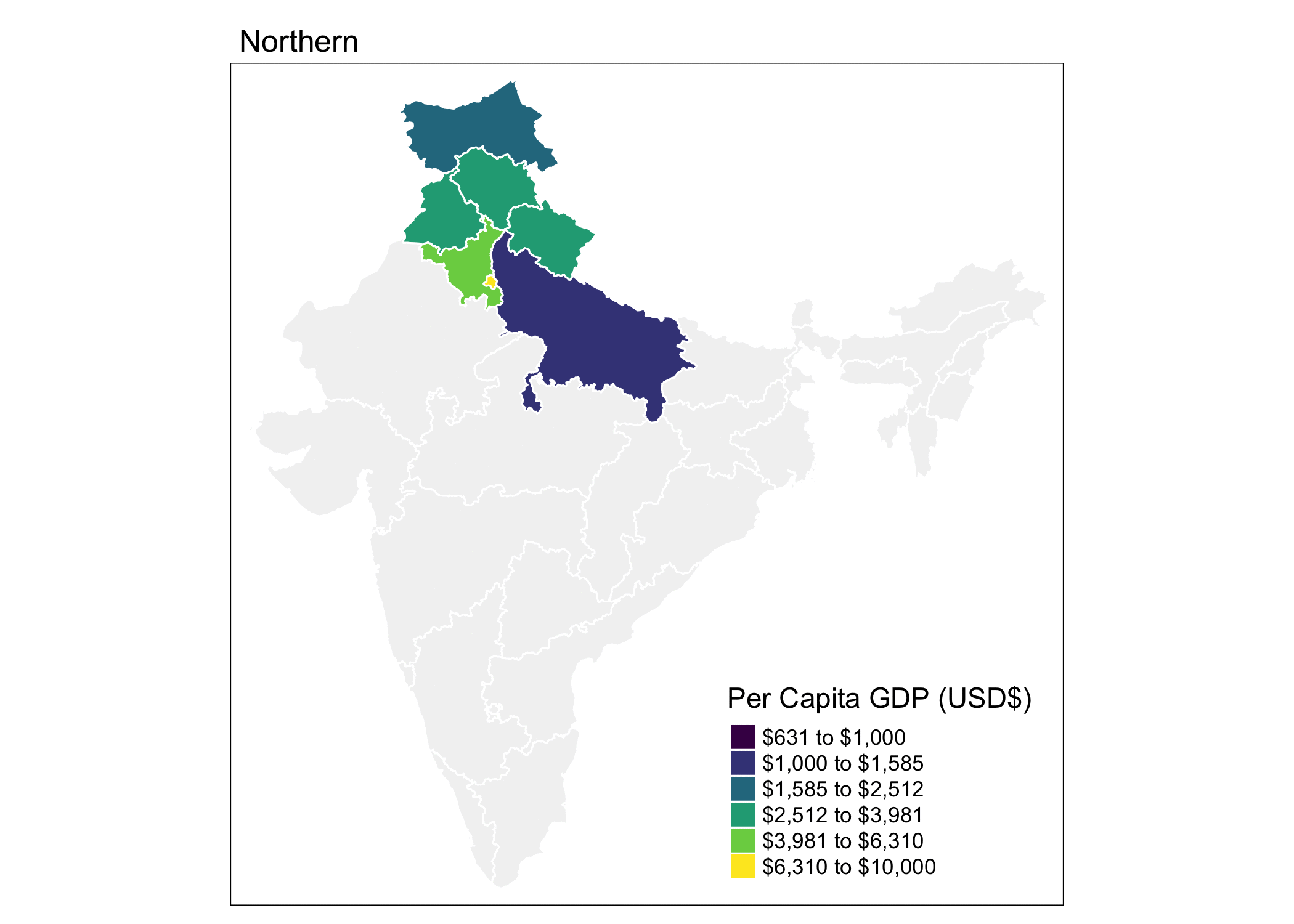
It includes many examples like this:

Source: Social Cops Introduction to GIS in R course

Reuse

Text and figures are licensed under Creative Commons Attribution CC BY-NC 4.0. The figures that have been reused from other sources don't fall under this license and can be recognized by a note in their caption: "Figure from ...".